St. Landry Gets GIS
BOBBY ARDOIN
St. Landry Now.com Editor
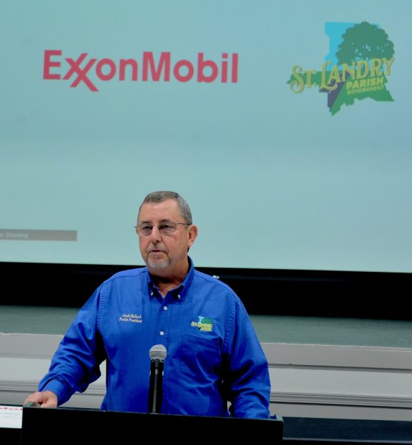
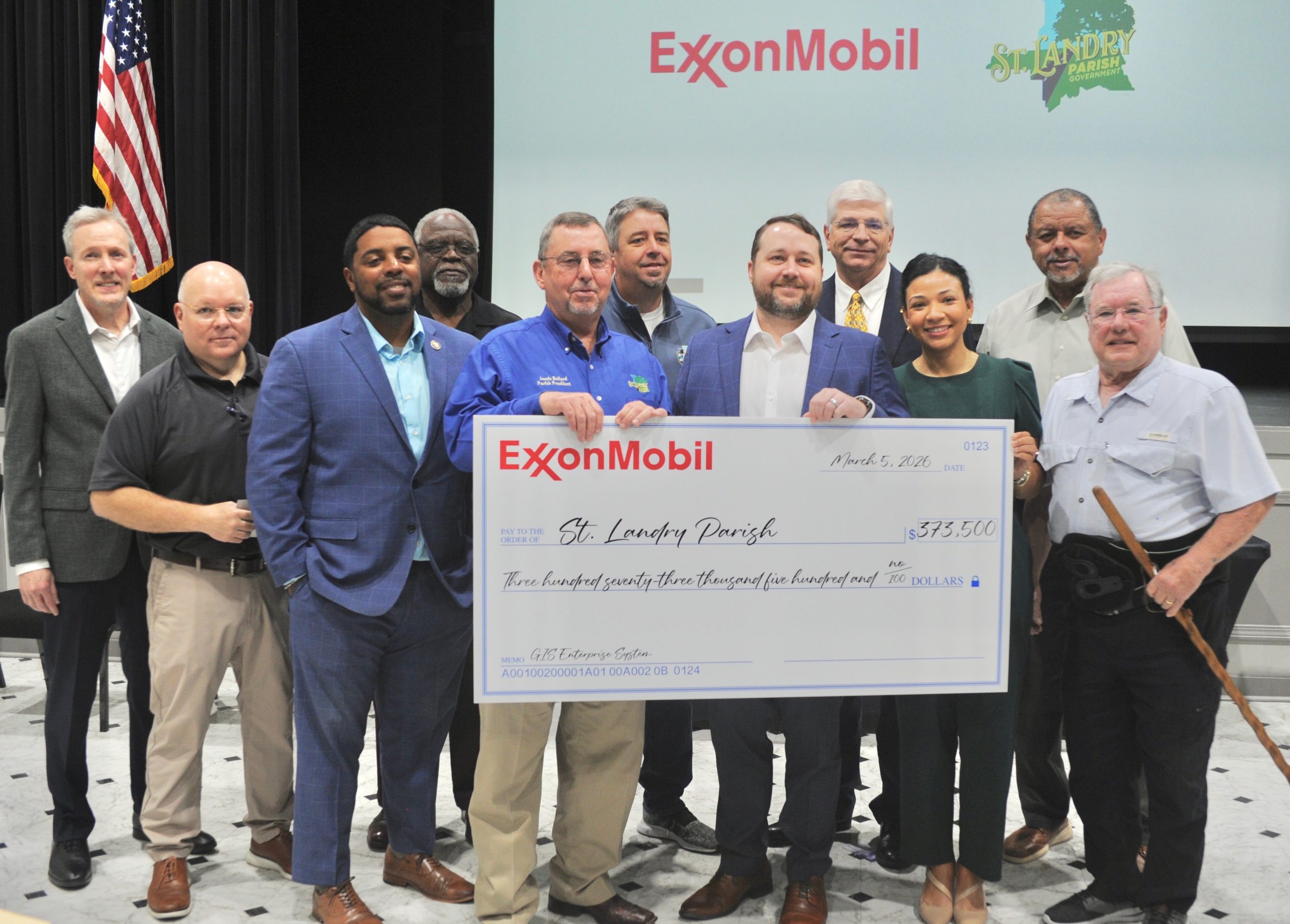
St. Landry Parish municipal and parish officials announced on Thursday a $373,500 ExxonMobil corporate funding initiative which will eventually create a parishwide Geographic Information System.
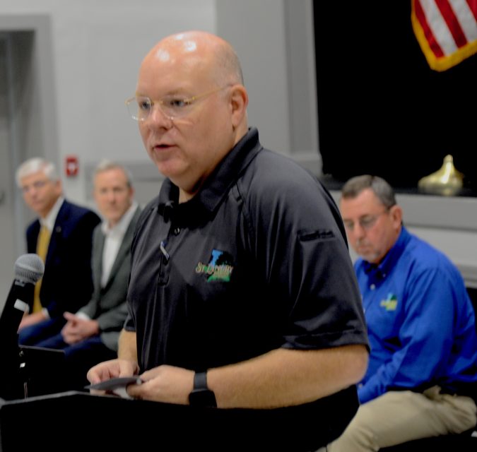
Parish president Jessie Bellard said establishing a GIS system will allow a number of parish departments, first responders and 911, to interconnect in real time with a mapping system that provides updated and accurate locational information.
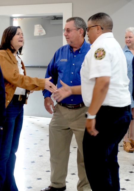
“What this will do for our parish is make things happen in the present for agencies like fire, police, the tax assessor, emergency dispatchers and public works,” Bellard told company and public officials during the meeting at the Delta Grand in Opelousas.
“It used to be that you would get in a truck, take a map out, put on the light and try to identify a location. Now we will better see where that place is and what is happening at a particular time,” Bellard said.
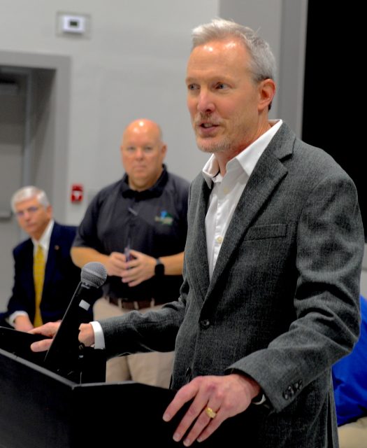
Also addressing the group of public officials were ExxonMobil low carbons solutions Louisiana manager Justin Carr, GIS representative Gary Hennington, Region Four Governor’s Office Of Homeland Security and Emergency Preparedness director Ashley LeBlanc and District 40 state representative Dustin Miller.
ExxonMobil officials, Bellard added, are interested in helping provide continued revenue assistance for various programs located in St. Landry.
Parish emergency preparedness director Van Reed said that ExxonMobil officials were anxious to provide assistance for the GIS project.
“ExxonMobil came to us and said they are interested in our community. They said that they wanted to invest in (St. Landry) and that (St. Landry) is a great place for them to become a partner,” Reed said.
Reed added in a St. Landry Now.com interview that eventually the parish will employ a GIS operator who oversees that project.
A recent parish delegation that visited Louisiana lawmakers in Washington D.C. last week might help the parish with some of the costs associated with hiring the GIS operation manager, said Reed, who was included in the group that included Bellard and council members Jimmie Edwards and Timothy LeJeune.
“This is the future,” said Jude Moreau, parish 911 executive director during a separate interview.
“Bringing data into a GIS format allows information to be shared among many agencies and creates links among all of them. It is constantly updating information. For 911, we want address information and if there is a new address out there, it will allow (911) to see that. GIS is continually updating,” Moreau said.
Moreau explained that the ExxonMobil funding allows GIS information to be formatted into an Internet cloud platform.
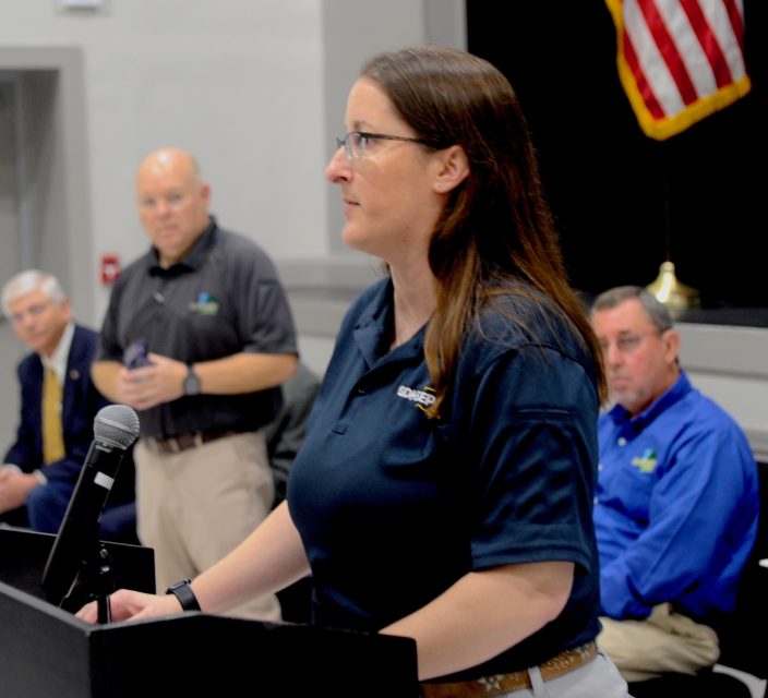
LeBlanc, who represents Region 4, noted that GIS programming will accelerate and simplify information for parish departments.
“It will break down complicated information and analyze where emergencies have occurred and provide better directions about where things have happened,” said LeBlanc.